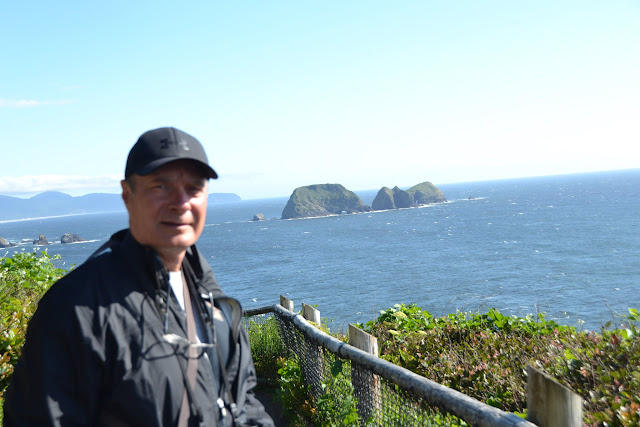
It was a beautiful clear day as we headed out to drive the Three Capes Scenic Loop, a 40-mile Scenic Byway on the Tillamook coast. For more information, click
here. We stopped at a scenic overlook which we had passed in the rain when we drove by it in the RV. It looks a little different in the sunshine!
 |
| nice views |
 |
| great coastline |
 |
| a view of the bay as well (in the back there |
Before long, we made our first stop on the loop at Munson Creek Falls. The road leading into the trailhead parking lot was a bit narrow, and winding and we wondered if we were on the correct road. Around a bend came a bright red car...with a camera on top! We thought it was google earth, but no, it was Bing. Wonder if we are famous now?
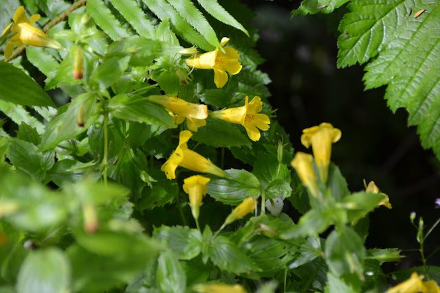
Getting back to this glorious waterfall...it is 319 feet tall, three-tiered, and one of the tallest waterfalls in the Coast Range. It was a short hike to the falls and so well worth the stop! We also love walking through these lush old growth forests, with such tall trees and all the moss on everything, etc. We spotted some sweet flowers too!
 |
| its like a fairy tale forest here |
 |
| moss covers everything |
 |
| moss covered trees |
 |
| moss is just everywhere and makes the forest magical |
 |
| nice short hike |
 |
| here's the stream...the waterfall can't be too far now |
 |
| a peak at the falls |
 |
| i see the falls! |
 |
| almost there |
 |
| three-tiered |
 |
| giant trees here too! |
 |
| cool |
 |
| sweet |
 |
| photo op with other tourists |
 |
| gorgeous |
 |
| sweet |
 |
| this is the road we came in on...its gravel with potholes...fun times! |
After the waterfall stop, we continued along the Scenic Loop, which we had a little trouble doing. It seems we just can't find our way around Oregon! The signs are very confusing and we are not sure where to turn half the time! On one of our "turn arounds", we spotted Bing again and I was able to get a good picture. Haha.
 |
| are we going to be on Bing streetside? |
 |
| can you believe it? |
 |
| well that's handy, eh? |
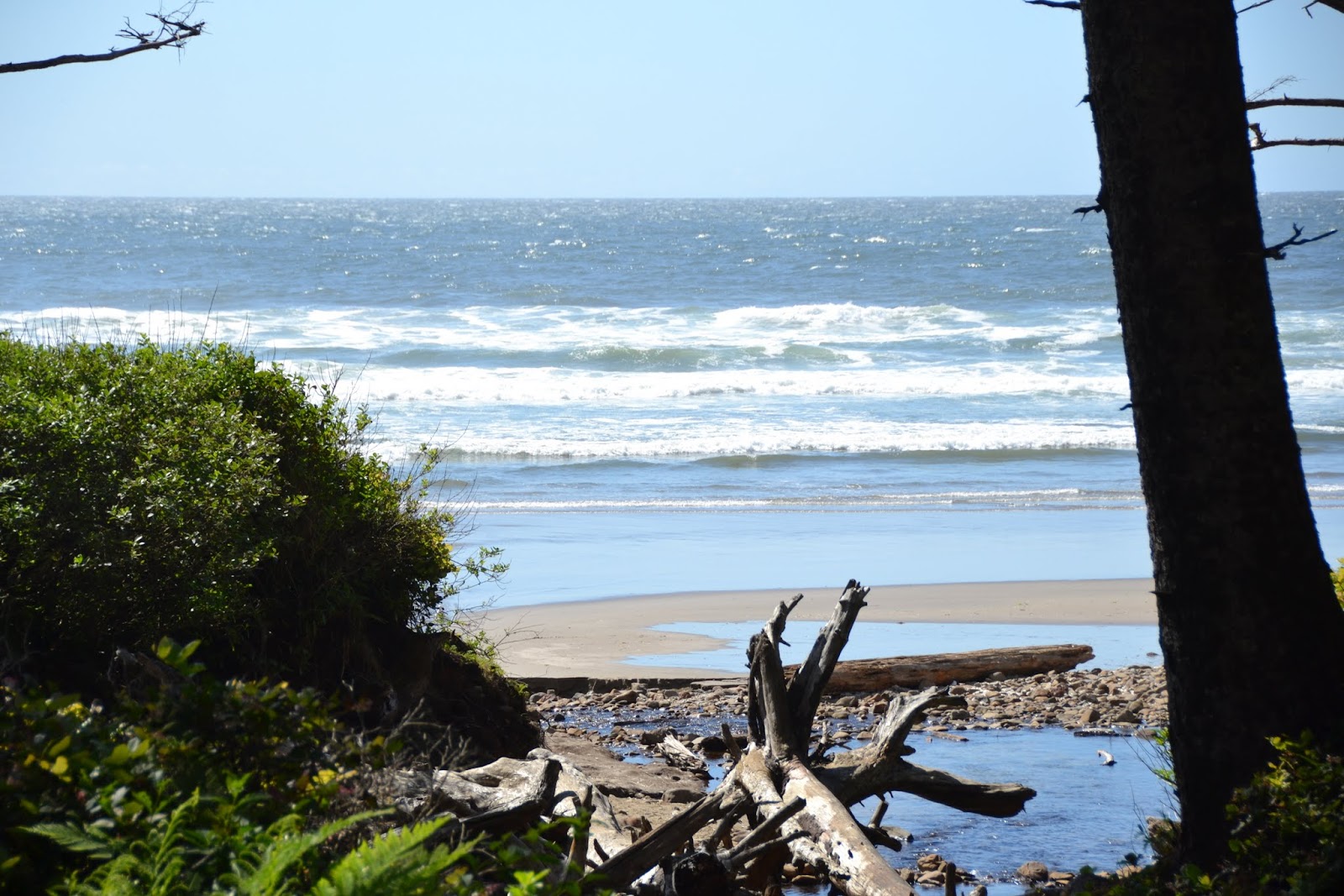
Next on our list of stops was the Bob Straub State Park, a lovely beach park with a picnic area and clean restrooms. Yeah! After walking up and over the dune, the ocean was before us...blue as can be! We were planning on eating our lunch on the beach, but it was just too windy and chilly to be enjoyable. The views sure were beautiful though, and we took a bit of a walk to stretch our legs.
 |
| heading over the dune |
 |
| love the dark blue ocean |
 |
| very scenic beach |
 |
| mesmerizing |
 |
| taking a short walk along the shore |
Travelling further along the Scenic Loop, we headed to the first of the three capes (for us), Cape Kiwanda, which was not well marked. We actually drove right by it, and had to turn around once again. The rock formations on the cape were gorgeous, and we spent a little bit of time on the beach. We shared the beach with a couple of class trips, which you can't tell from my pictures!! Haha! Most of the kids were running amock at the dry sandy part of the beach having a ball.
 |
| really scenic drive! |
 |
| heading down to the beach |
 |
| different again...the rock isn't basalt |
 |
| see the power of water to carve a rock |
 |
| nice |
 |
| doesn't this look like a painting? its the other side of the beach-where it was just a bit foggy |
Next stop for us...Cape Lookout. We went to the State Park, with hopes of hiking the Cape Trail. This trail goes through forest, with ocean views along the way, until it comes to Whale Cove for a beautiful view out to the ocean. The trail continues for those not afraid of heights. The very few hikers we met that actually continued on the trail said it was really scary...even if you don't have a fear of heights! 'Nuff said!! We had a nice hike to Whale Cove. For more information, click
here.
 |
| Cape Trail today |
 |
| there are some pretty steep drop offs here |
 |
| such tall trees |
 |
| enjoying the hike! |
 |
| steep drop offs ahead...watch yourself! |
 |
| can you see the water? |
 |
| sweet |
 |
| fungus |
 |
| love the tree fungus |
 |
| the ocean view ahead too! |
 |
| a look at the beach from above |
 |
| turkey vultures just waiting for us to make a wrong move |
 |
| sooo pretty |
 |
| a bit foggy |
 |
| giant tree-how many rings? |
 |
| the other half of the tree |
 |
| all these trees are huge! |
 |
| switchbacks |
 |
| more fungus |
 |
| such a cool and refreshing hike |
 |
| end of the line for us...the scenic view! |
 |
| you don't want to continue up???? where everyone is scared???? |
 |
| nice view down |
 |
| more |
 |
| more |
 |
| a bit of fog moving in |
 |
| heading back...lots of "up" |
 |
| sweet |
 |
| cool trees |
 |
| how many insects can hang out on a flower at once? |
 |
| pleasant walk...but don't look down too much over the edge |
 |
| its a bit steep |
 |
| heading up the trail |
We drove to another part of Cape Lookout State Park, and we were going to hike a little bit of the "North Trail", but after a few minutes, we turned around and decided to enjoy the beach instead. We had just finished a hike through forest, and wanted another dose of beach. The rock formations in the ocean were really nice here as well.
 |
| pretty forest at the coast |
 |
| view from the road |
 |
| day use area of the park |
 |
| great coastline |
 |
| hike? or beach? |
 |
| the river runs from the forest into the ocean |
 |
| nice |
 |
| cool rocks |
There is camping in this area of Cape Lookout State Park, and the sites looked great. There were also cabins, in the woods but facing the ocean, that looked really awesome too! Not sure if they were open yet for the season. May have been too early. The numerous picnic sites were great as well.
 |
| hiking a little? |
 |
| cabins at the state park...look pretty nice!! |
 |
| lots of picnic areas with great views too! |
After a short walk on the beach, we headed back to the car. We checked out the information board regarding tsunami's and saw where the fault lines were. The seven earthquakes that occurred last week when we were at Pacific Shores happened at the outer fault line, that's about 300 miles offshore. Those earthquakes made the local news because there were so many of them in a short amount of time. Earthquakes on the closer fault line are more of a problem!
 |
| lots of bits of sand dollars on this beach |
One more cape to find...and it wasn't easy! There was a detour due to road construction, so it was even more confusing. The views along the way were pretty nice though. Its dairyland in Tillamook! Lots and lots of dairy cows. (There is also a cheese outlet in Tillamook-but we didn't go there-sorry Tom)! As we drove down one of the hills, we could see a bunch of houses on the hillside, and we were thinking Greece or Sicily! Haha!
 |
| back in the Tillamook valley |
 |
| dairyland! |
 |
| heading to Cape Meares |
 |
| Sicily? |
 |
| nice town |
Eventually, we found our way to Cape Meares, the last of the three capes we would see on this scenic drive. You can see the nesting birds on the huge rocks, and take a walk to see the Octopus Tree. There is a lighthouse here too! We spent some time here exploring.
 |
| overlook |
 |
| with nice views |
 |
| tons of nesting birds |
 |
| love these dramatic coastlines |
 |
| the top of the lighthouse |
 |
| cool |
 |
| the lighthouse is a short one! |
 |
| more views (those rocks might be the Three Graces) |
 |
| look at the arches in the rocks |
 |
| we like that house on the edge there |
 |
| shortest lighthouse? |
 |
| heading back to the main parking area |
 |
| this is NOT the Octopus Tree...that is on a different path |
 |
| nice artwork |
 |
| heading to see the Octopus Tree |
 |
| ah, yes, there it is |
 |
| its pretty big |
 |
| i can see why they call it the Octopus tree |
For a scenic drive, we did a lot of walking! Again, I had the fitbit on, and we logged over 80 flights of stairs! Its a bit hilly here on the coast:)
Since we was such a nice sunny day, we thought we'd catch a sunset at our local beach. Success!! Again, simple pleasures!
 |
| finally-an Oregon Coast sunset! |
 |
| I'm so happy |
 |
| the colors are great |
 |
| depending where you look-the colors are so different |
 |
| over yonder |
 |
| happy Susie? |
 |
| nice |
 |
| there's the sun setting now |
 |
| i can still see through the clouds |
 |
| Nighty-night |


No comments:
Post a Comment