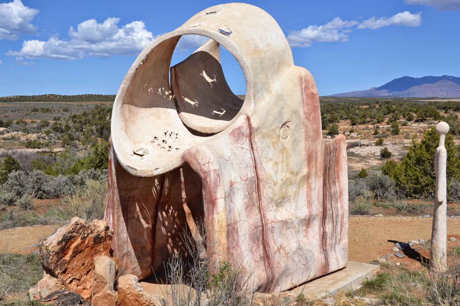
Edge of the Cedars State Park has one of the most extensive collections of ancient Puebloan pottery and artifacts in the world. It is also an Ancestral Puebloan archaeological site, and one of the ruins is right behind the Museum. We spent a couple of hours here, educating ourselves about the ancestral Pueblo (Anasazi) Native Americans. Of special interest was the rock art information and of course the pottery. There are still artifacts, and pottery being found today! The area is rich in ruins as well. Visitors, when hiking and exploring the area, are instructed to leave any shard of pottery, or any type of artifact where it is found and report it to the BLM (Bureau of Land Management) or a park ranger. Information from the location and soil collection from the area of the "find" are important clues as to the past.
For more information on Edge of the Cedars State Park, click
here. The displays of many of the recent finds were amazing, because they had pictures of where the pottery was found on hikes, and how unexpected it was. The area is so rich in ruins!
 |
| local artist's work |
 |
| copy of a "glyph" |
 |
| always want to know about the weaving! |
 |
| an amazing collection! |
 |
| so much to learn here! |
 |
| small rocks were interspersed between the big rocks to hold the mud in and make it more stable |
 |
| here are some of the small rocks! |
 |
| double insulated walls |
 |
| going down to the "kiva" (ceremony room) |
 |
| the walls have been reinforced |
 |
| inside the kiva |
 |
| fireplace |
 |
| beautiful mountains in the background, by the way |
 |
| side view |
 |
| nice mountains! |
 |
| this was interesting |
 |
| looks like a piece of artwork, doesn't it? |
 |
| see how the sun shines through the rock art...the placement of the figures lets you know the season/time |
 |
| really looks like an outdoor sculpture garden right here :) |
 |
| a Hogan....like we've seen in Monument Valley on the Navajo Tribal land (oh, about the houses in the background. This museum is in a regular neighborhood!) |
 |
| this Hogan is short |
 |
| a good picture of the structure...engineers are impressed with this |
 |
| these structures can last 70-80 years |
 |
| Two biological zones helped! Maybe that's why so many ruins in this area? Must have been pretty populated! |
At the visitor center, we got information regarding hiking in this remote area. I also bought a book that described various trails, including the directions to the trailhead and the type of road to get to the trailhead. There are many roads where you really need a 4WD and/or high clearance vehicle.
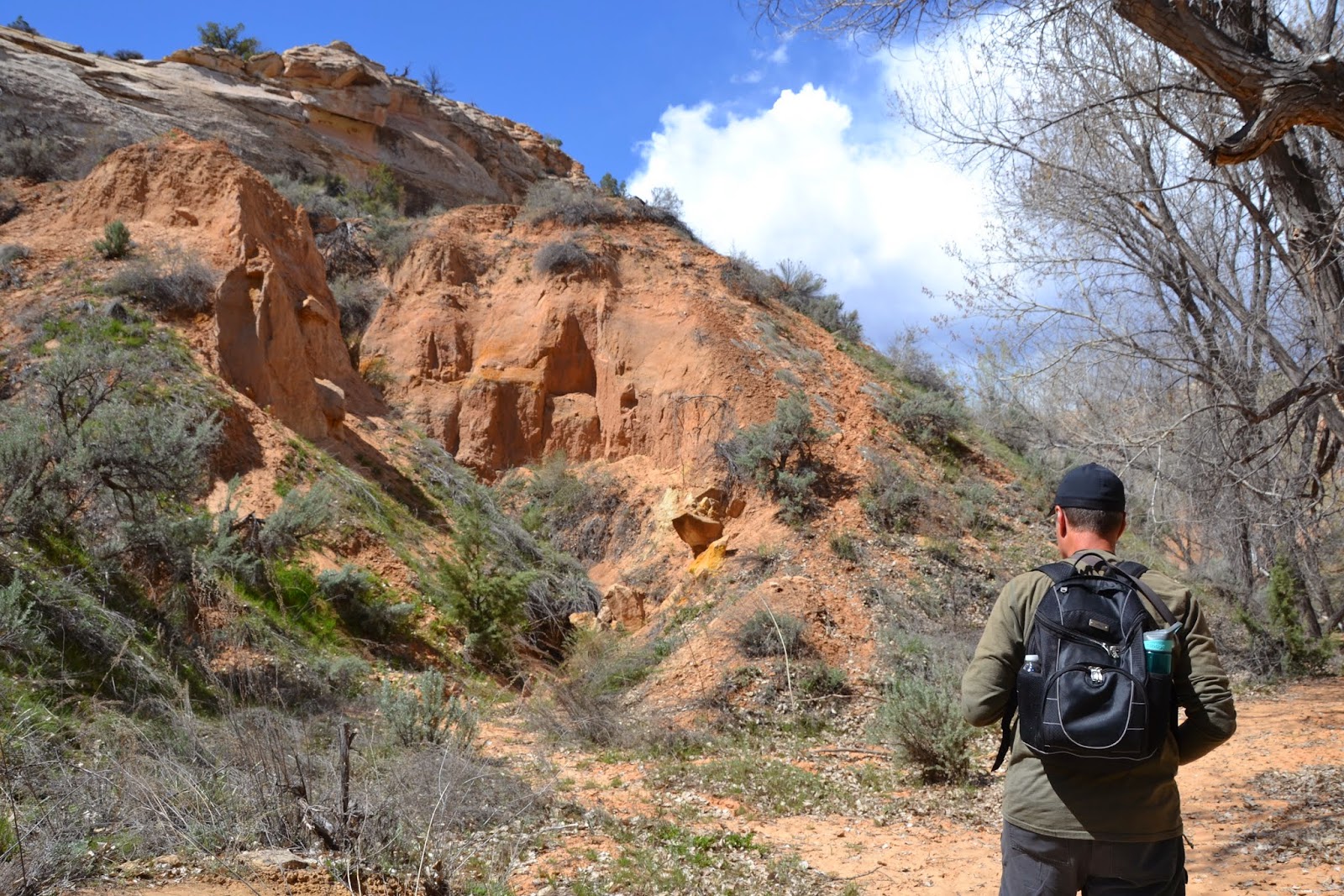
So, we studied the information in the book over lunch, and decided to do a very easy trail right out of a paved parking lot off the highway. The trail was supposed to be 1-mile and very easy, with sighting of a ruin across the canyon. Okay...good one to start with!
 |
| we found the trailhead and it looked pretty easy, so off we went |
 |
| it was kind of strange to be hiking among trees and greenery in the desert |
 |
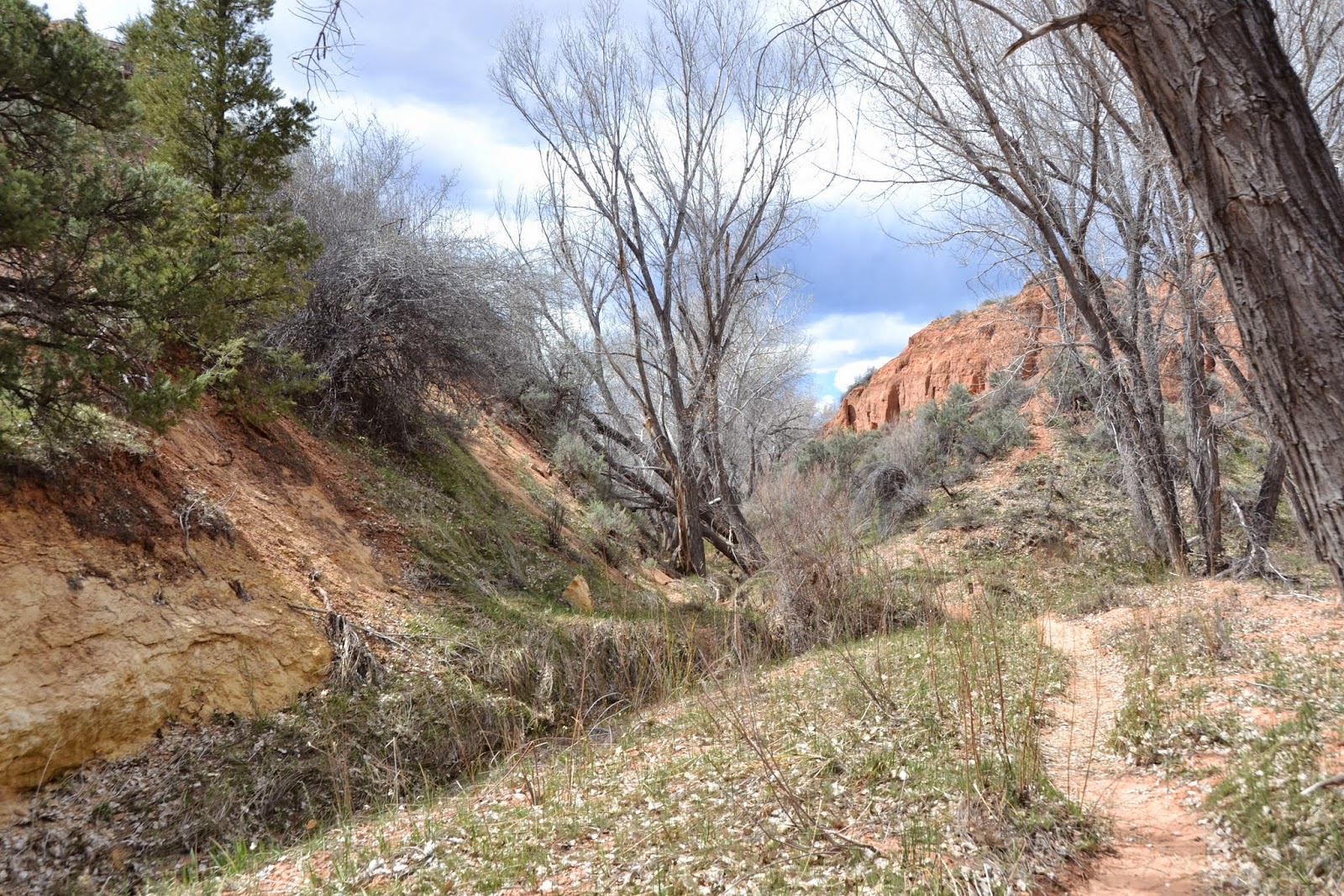
| we were walking next to and crossing this stream for most of the hike |
 |
| I particularly enjoyed the shade...as you would guess! |
 |
| we met up with a couple of people we met at the museum....which was fun! |
 |
| looking around, we did not see any ruins |
 |
| look at all the green!! Wow! And its not a golf course! |
 |
| still don't see the ruins...should be close now |
 |
| could we have missed it? Its only supposed to be a half-mile in |
 |
| hhmm...let's keep walking and see what happens |
 |
| the trail was pretty easy to follow...this must be the way |
According to my new book, this hike was supposed to be about half a mile, easy trail over slickrock, and view the ruins across the canyons. Well...we've been walking mostly in soft sand, on a mostly easy trail, but what? Look at that trail! Its 100 feet to the top where the ruin is. Literally!
 |
| the first part...not too bad...by the way, that's soft sand, not dirt |
 |
| oh no....that's pretty steep...and its all on soft sand |
 |
| still going up |
 |
| that's where we are headed |
 |
| almost there |
 |
| so close yet so far |
 |
| very cool! |
 |
| a little further |
 |
| ready? Its pretty steep? |
 |
| what am I doing here???? |
Going up was not too easy, but I managed my fear of heights by concentrating on how I was getting up there. I was so close, there was no way I wanted to turn around now. This was not in the trail description though!
 |
| very cool! we made it |
 |
| lots of ruin |
 |
| we can't get over to that area |
 |
| but we can see this! |
 |
| sectioned off to prevent vandalism |
 |
| the edge of the ruin |
 |
| its incredible...these ruins are everywhere in this area...if you can get to them |
 |
| more |
 |
| another view |
 |
| ok...now we have to get back down there........ |
 |
| there's my guide now! |
 |
| this is an amazing ruin |
 |
| glad I made it up...but HOW am I going to get down? |
I would still be at the top, living in the ruins, if it wasn't for my hero, who helped me down by letting me grab his arm. What a trip! Not too easy getting down. We went down sideways pretty much, since there was no way to get a foothold in the soft sand. It was slide...slide...hyperventilate a bit....slide.....slide. But okay, made it down and again, so glad to experience it! Right Tom!
 |
| its just a LITTLE steep! (do you hear me crying???) |
 |
| I think I can...I think I can...I think I can... |
 |
| Tom is taking the picture WHILE he is helping me |
 |
| the last segment..not sure if you can tell...that is soft sand, not dirt...ugh! |
 |
| back on the trail and breathing normally again |
 |
| what's that? some kind of mineral deposit? remnants of a flood? |
 |
| this was a great hike, but the very end was far from easy |
 |
| cacti up above |
 |
| pretty |
 |
| the rock is really pretty |
Once we got back to the car, we checked the book again. We were at a different hike...with a totally different description. We hiked the Ballroom Ruins, instead of the Butler Wash Ruins Overlook. We made the mistake of starting at the wrong trailhead. Thankfully, this was a fairly easy hike (except for the end)!


No comments:
Post a Comment