A few days ago, we attempted a hike to the Butler Wash Indian Ruins and stopped at the wrong trailhead and saw entirely different ruins (the Ballroom Ruins). On the way to Natural Bridges National Monument, we passed the trailhead and decided to stop since it would only be a short hike to the ruins.
The parking lot was paved and the trail was very well marked. After a few minutes, we arrived at the overlook and we could see various ruins in the caves in the canyon wall. There are so many ruins along Butler Wash and Comb Ridge, but many are difficult to get to due to either needing a high clearance 4WD vehicle, and/or the ability to do a strenuous hike. This particular set of ruins is very accessible, so it is set up with a nice overlook. The other ruins we've come across on our hikes have no such clear viewpoints or signage with the ruin description.
 |
| "Comb Ridge"-with a slit in it for the road! |
 |
| Butler Wash Ruins |
 |
| heading over to the ruins |
 |
| cryptobiotic soil - looks a little like a lava flow |
 |
| following the trail to the overlook |
 |
| up and down...follow the cairns |
 |
| oh cool! |
 |
| so many ruins in the Butler Wash! |
 |
| more |
 |
| more |
 |
| more |
 |
| heading back now...the views are really nice! |
 |
| we've seen so many ruins in Comb Ridge! |
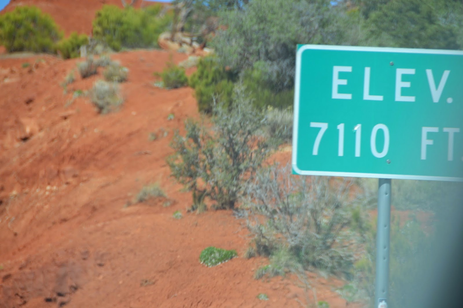
As we traveled toward Natural Bridges National Monument, we noticed an increase in elevation! That explains why the temperature remained cool as the morning progressed! It was refreshing, which I really like! Natural Bridges National Monument has the largest concentration of natural bridges in the world (3), which can be viewed from the scenic loop road or via any number of hikes.
 |
| Heading to Natural Bridges National Monument |
 |
| really...such a beautiful area of the country...its ALL beautiful! |
Three natural bridges were discovered in the late 1880's by a prospector searching for gold along the Colorado River, and President Theodore Roosevelt declared it Natural Bridges National Monument in 1908. For more information, click
here. These bridges are massive and are located in the canyon. Each bridge is accessible via a hike from the viewpoint on top of the canyon. A 9-mile one-way scenic loop road traverses the park.
 |
| a little cooler this morning...it usually warms up nicely by now |
 |
| the desert is blooming |
The first bridge reached is the Sipapu Bridge, which can be seen from a viewpoint along the scenic loop road. There is a trail leading down to the bridge, but there are a few very steep ledges, 3 ladders and some stairs.
 |
| the overlook for the Sipapu Bridge |
 |
| 220' high, 268' span, 31'width, 53'thickness |
 |
| there is a hike down |
 |
| further along the scenic drive....lunch stop! |
 |
| we may not eat the most tasty lunches, but we eat in beautiful spots:) |
 |
| What?? This is tasty! |
 |
| Ok...you have to go alone Tom...I can't even get off these steps, let alone go along that edge!! |
 |
| doesn't look to bad in the pics, but trust me! |
 |
| there he goes |
 |
| Be safe!! |
The next stop is the Horse Collar Ruin Overlook. There is a short, pretty flat walk to get to a viewpoint right across from the ruins. There are also other ruins that can be spotted in the sides of the canyons. Fascinating. Ancient Puebloans, modern Puebloans, Navajo...several migrations lived here at various points in time.
 |
| the trail to the Horse Collar Ruins...next stop on the scenic one-way drive |
 |
| ok....maybe I can manage this little hike |
 |
| ummmmm....okay! |
 |
| I can manage this distance from the ledge:) |
 |
| here we go |
 |
| Thank you for the railing National Park Service! |
 |
| the views are gorgeous |
 |
| oh boy |
 |
| ok...let's look for the ruins |
 |
| there are some |
 |
| good to have binoculars! |
 |
| there are ruins everywhere in the canyon |
 |
| more |
 |
| more |
 |
| there are my friends from Belgium...behind me...met them at the first bridge trailhead....they stood on the very edge and chatted with me while I waited for Tom. They stood on the EDGE! I was having heat palpitations!! (j/k) They have no fear of heights at all |
 |
| looking for more ruins |
 |
| blooms |
 |
| isn't this awesome? |
 |
| ruins are just everywhere....just need to look closely |
 |
| magnificent |
The second bridge can be seen via an overlook, or you can hike down to the base of the bridge. The bridge looks almost like an arch, but we were able to see that it actually is a bridge. Bridges are formed from the flow of water...arches are formed from other erosion factors, including wind, frost, etc.
 |
| the second bridge on the scenic drive |
 |
| also a steep drop of a hike to go down under the bridge |
 |
| the difference between bridges and arches-bridges are caused by water |
 |
| really great views |
 |
| blooms |
The last bridge is the oldest bridge, and water does not flow under it anymore. This bridge is fairly narrow, so its life expectancy can be affected by something like a crack, or frost, etc. This bridge is the most fragile because of its narrow thickness. The trail to this bridge was the "easiest", and therefore the most popular.
 |
| see the bridge? I almost missed at the viewpoint! |
 |
| we walked down under this bridge...the only "easy" hike with no ledgewalking |
 |
| heading down for a better look |
 |
| still with me Susie? |
 |
| Nature is amazing |
 |
| this bridge is so narrow...only 9 feet thick |
 |
| 106 feet high, 180 foot span, 27 feet wide, 9 feet thick |
 |
| view looking up from under the bridge |
 |
| you can see how the wind has left its mark on everything...even the trees |
Another pleasant day exploring one of our National Monuments here in Utah. This is a beautiful country!
 |
| mule deer along the side of the road ...first we've seen any wildlife, especially near the road |


No comments:
Post a Comment